
Stage 2: Design surveys and collect data
Stage 2: Design surveys and collect data
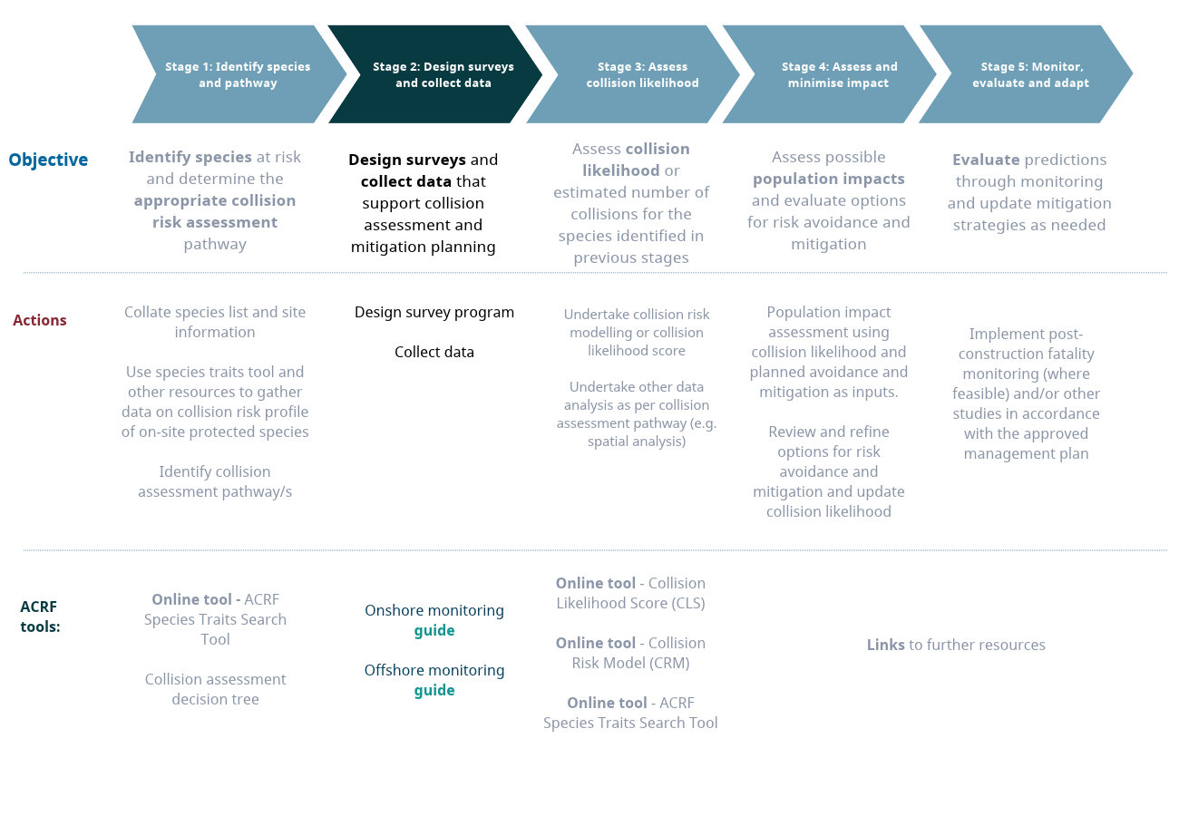
Design surveys and collect data that support collision assessment and mitigation planning
Objective and scope
Stage 2 translates the species, site and collision likelihood assessment pathway information established in Stage 1 into a targeted and proportionate survey program designed to generate the evidence required for collision assessment and mitigation planning.
Key questions: How should surveys be designed to generate robust evidence for the selected collision likelihood assessment pathway? Are the data sufficient in quality, coverage and quantity to support the assessment? Are additional targeted studies or analyses required to address information gaps or inform mitigation?
Spatial scope: Site and relevant surrounding area.
Project timing: Survey design should be completed before field deployment. Data collection should be reviewed iteratively to ensure that it remains aligned with the selected assessment pathway, seasonal activity patterns and emerging information needs.
Key Activities:
Outputs:
Documents

Third party resources
